Learn More about Inclinometers
RST Instruments’ various Inclinometer tools allow for lateral ground displacement monitoring in a variety of geotechnical applications. Displacement measurements from Inclinometers can be used to determine the stability of a slope, the rate of ground creep, or shear zone movement, and allow assessment of the adequacy of ground supports before embarking on a major construction project.
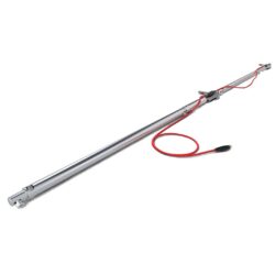
The RST Digital Inclinometer System consists of a lightweight Digital Inclinometer probe at the end of a heavy-duty cable that is read with a Rugged Mobile Device allowing users to visualize Inclinometer profiles on-site.
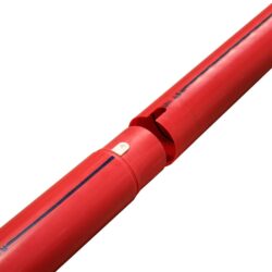
Inclinometer casings can be installed vertically in boreholes, embankments, and piles, and can be set into concrete or attached to structures, allowing for repeated measurements over time using the Digital Inclinometer probe. As the probe moves vertically through the casing, it measures inclination at set intervals to determine lateral displacement against a reference value taken at the initial installation, thereby providing a detailed view of any and all lateral deformation that has occurred beneath the ground surface over time.
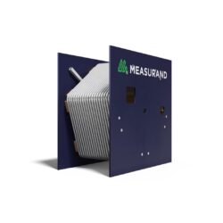
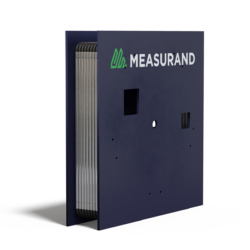
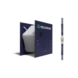
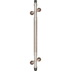
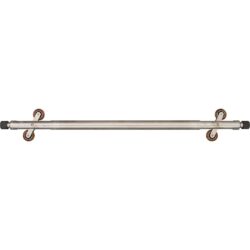
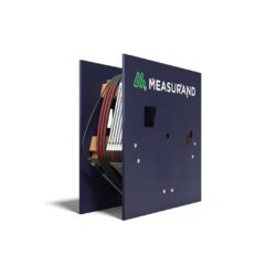
For projects where ongoing or remote monitoring is required, the next-generation MEMS Digital In-Place Inclinometer System is a long-term installation available in two different configurations to accommodate the specific needs of your project within the installation environment.
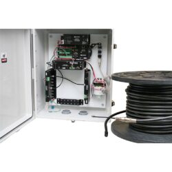
MEMS Digital In-Place Inclinometer Systems are typically used to monitor embankments and landslide areas or mining applications and are read automatically using either an RSTAR Affinity Data Logger, DT2485 Data Logger or FlexDAQ Data Logger, depending on the system architecture available on the project site.
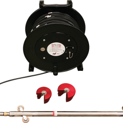
The Digital Horizontal Inclinometer System can be used to measure ground settlement under structures or embankments in much the same way as the vertical system by running the Digital Horizontal Inclinometer probe through Inclinometer casing that has been installed horizontally beneath the ground surface or foundations.
Metallic Time Domain Reflectometry (TDR) is a simple and cheap way to find and understand how rock and soil react to mining underground and on the surface. It is done by using coaxial cables grouted in boreholes. TDR can be used effectively to locate rock and soil mass movements.